


la ciotat michel simon

chrifor
User


Length
11.4 km

Max alt
330 m

Uphill gradient
380 m
Km-Effort
16.4 km

Min alt
1 m

Downhill gradient
375 m
Boucle
Yes
Creation date :
2019-03-27 09:30:41.168
Updated on :
2019-03-27 15:06:25.439
5h33
Difficulty : Easy

FREE GPS app for hiking
 SityTrail
IGN / Geographical institutes
SityTrail Plus
The world is yours!
About
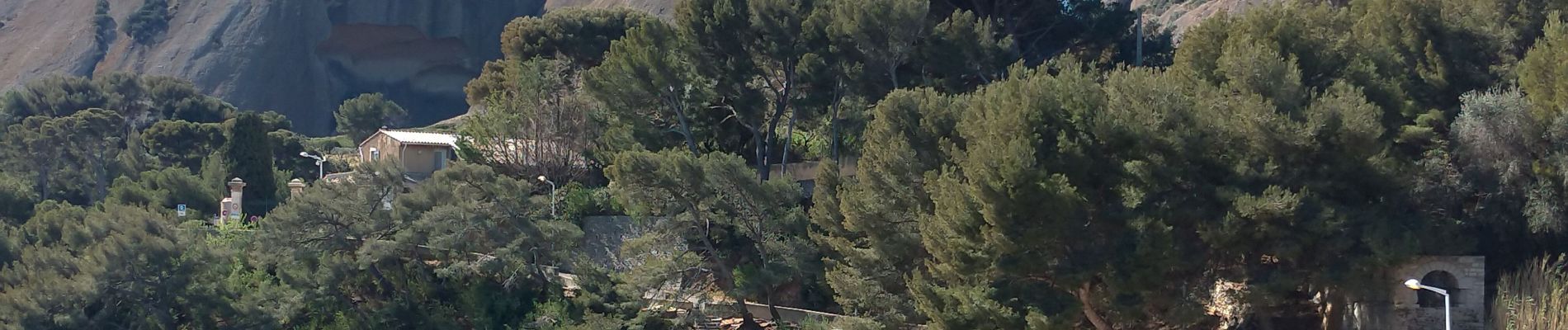
Trail Walking of 11.4 km to be discovered at Provence-Alpes-Côte d'Azur, Bouches-du-Rhône, La Ciotat. This trail is proposed by chrifor.
Photos


Positioning
Country:
France
Region :
Provence-Alpes-Côte d'Azur
Department/Province :
Bouches-du-Rhône
Municipality :
La Ciotat
Location:
Unknown
Start:(Dec)
Start:(UTM)
711828 ; 4782641 (31T) N.
Comments